St. Louis Chapter
Missouri Society of Professional Surveyors
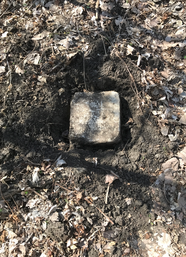
St. Louis City Boundary Stones
This page is for a catalog of the St. Louis City Stones, located in a modern system.
“MAP of the location of the CITY LIMITS ESTABLISHED BY THE CITY CHARTER OF 1876. From Stones No. 1 to Stone No. 175 inclusive, IN ACCORDANCE WITH A SURVEY BY JULIUS PITZMAN RE-SURVEY MADE BY THOMAS FEATHERSON, UNDER THE DIRECTION OF THE STREET COMMISSIONER, during The Years 1878 & 1879.”

This is a list of stones submitted by local agencies and companies.
| 53 | 1000661.188 | 873124.599 | 0 | STLCo JG |
| 58 | 1003969.58 | 871945.303 | 0 | STLCo JG |
| 75 | 1014566.497 | 874275.886 | 0 | CEC HA |
| 76 | 1014898.154 | 874324.898 | 0 | CEC HA |
| 94 | 1029022.51 | 877663.789 | 0 | STLCo DC |
| 96 | 1029970.278 | 878248.743 | 0 | STLCo DC |
| 132 | 1053837.361 | 897314.938 | 0 | STLCo JG |
| 2132 | 1053847.612 | 897311.834 | 0 | STLCo HW |
| 151 | 1060895.549 | 905732.539 | 0 | MODOT MS |
| 152 | 1060433.673 | 905329.128 | 0 | MODOT MS |
| 156 | 1062678.683 | 907088.734 | 0 | MODOT SJ |
| 163 | 1066269.728 | 909641.865 | 0 | MODOT SJ |
| 164 | 1066507.281 | 909737.92 | 0 | MODOT SJ |
| 165 | 1066269.728 | 909641.865 | 0 | MODOT MS |
| 169 | 1069591.429 | 910347.677 | 0 | MODOT SJ |
| 174 | 1070712.439 | 912120.228 | 0 | MODOT SJ |
St. Louis City/County Boundary Stones

Stone #75

City Stone

Feather Marks near Former City Stone 96

Olive Blvd – AR-1822 Stone 94 Record Calc. Pt. 1345

Olive Blvd – AR-1822 Stone 96 W Feather Mark Pt. 653

Olive Blvd – AR-1822 Stones 94, 95, 96 NOTES

City Stone 163

img810

Stone 132 – 2015 HWW
City Stone 174-1

City Stone 174-2

City Stone 174-3
