OnX has become a powerful tool for hunters, and for surveyors. Hunters need to know the property boundaries to avoid trespassing and with nationwide parcel boundaries, surveyors use OnX and tools like it to get close to rural corners. OnX, like any Municipal or County GIS should be considered “general” or “close” even, but not accurate for property boundaries.
Surveyors know this, and telling our land owner clients is a part of being a surveyor in today’s world, to help the public understand what level of trust to place in these systems vs the monument or completed survey.
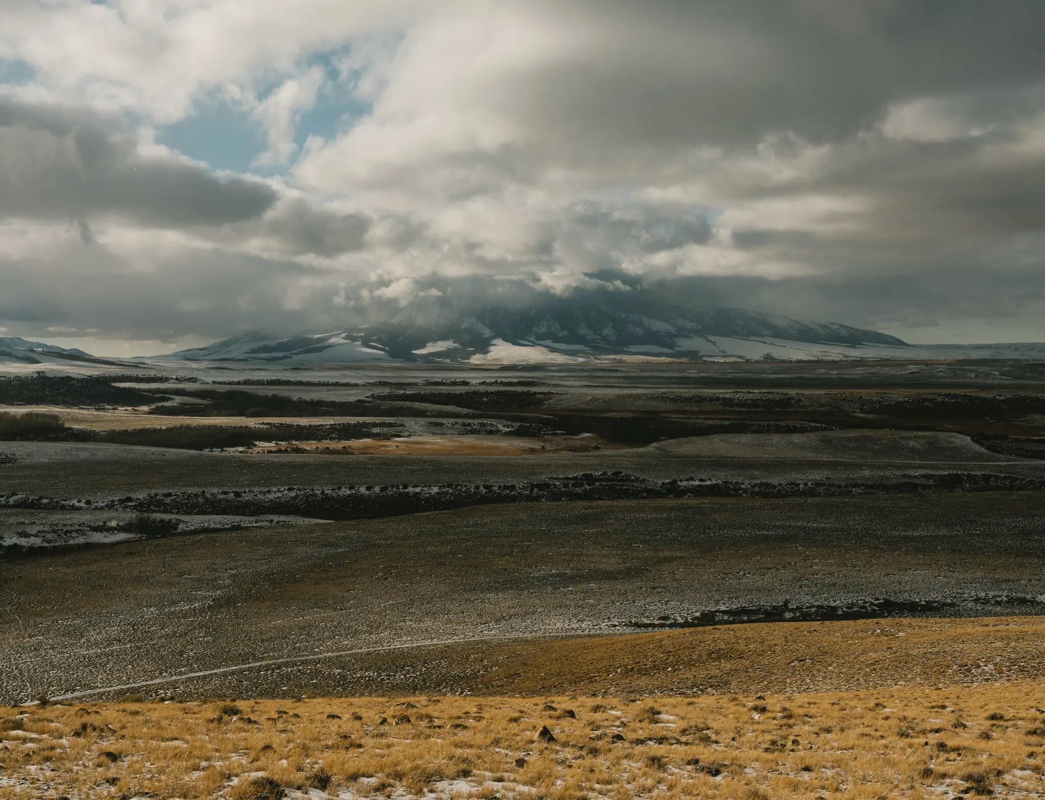
Wyoming land owner sues 4 Missouri hunters for trespassing by corner crossing to access public lands. This case will have many interesting results:
– Is corner crossing a form of trespass?
– Should public lands be required to provide access, like private lands are required?
– Will OnX and other GIS systems be required to change somehow?
Read more here: NY Times Article
Rancher wants case returned to state court: Cowboy State Daily Article