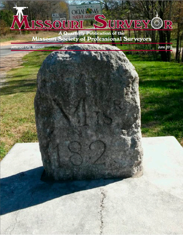
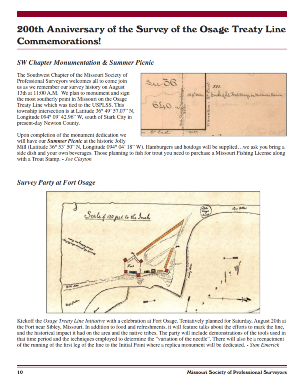
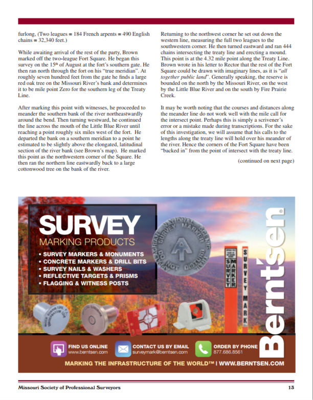
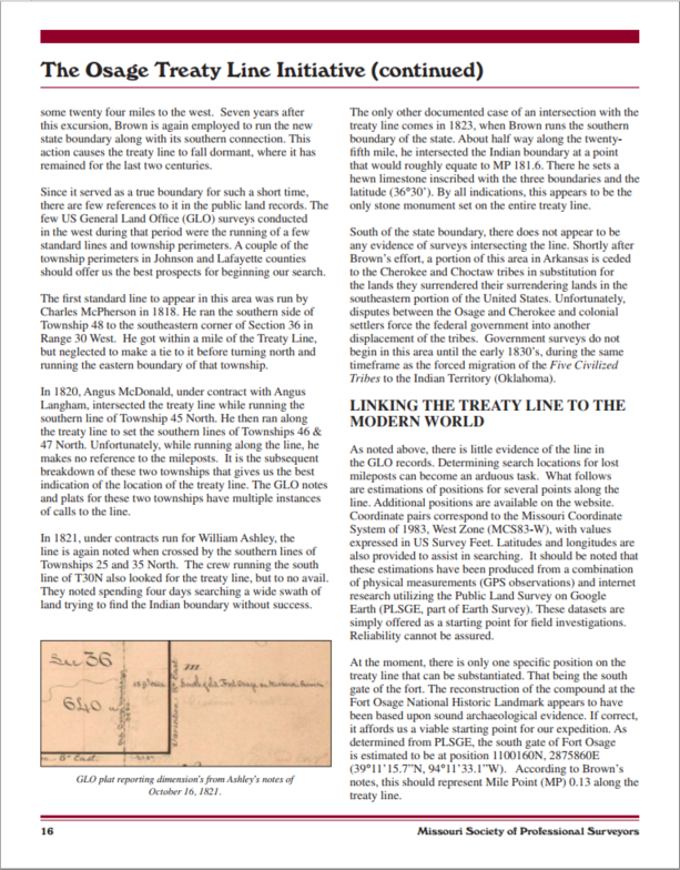
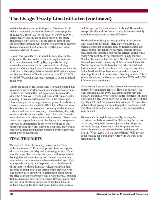
In 2016, the Missouri Society of Professional Surveyors and the SW Chapter MSPS installed a monument and sign at the most southerly point in Missouri on the Osage Treaty Line which was tied to the USPLSS.
 
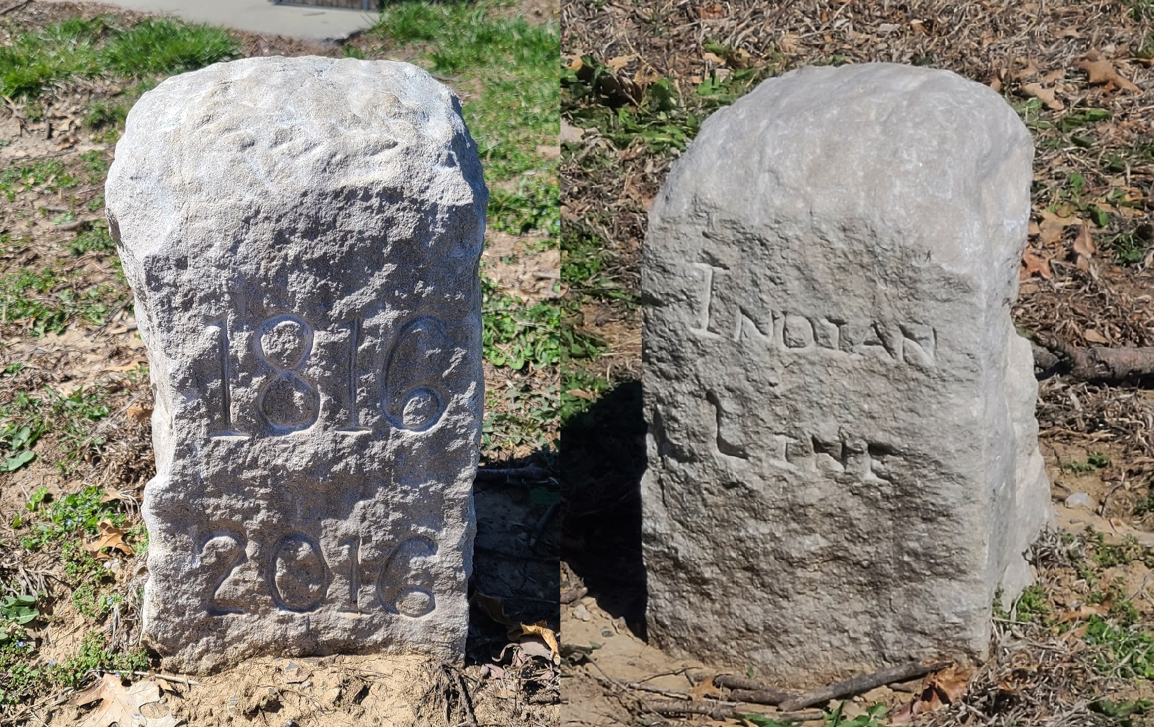
Additionally a commemorative stone was placed at the National Historic Landmark – Fort Osage, near Sibley, MO. The last picture of is of that stone, taken in March, 2023 by one of our St. Louis Chapter members.
 
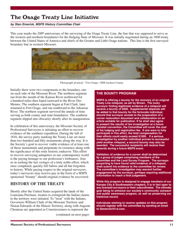
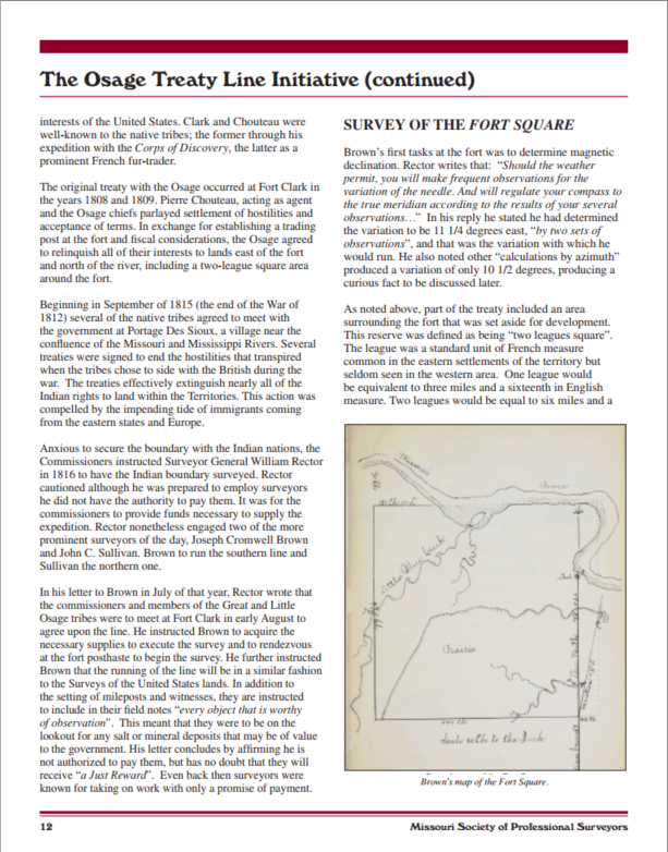
2016 was the 200th anniversary of the Survey of the Osage Treaty Line, that was supposed to serve as the western and northern borders of the State of Missouri. It was initially negotiated during the 1808 treaty between the United States of America and the chiefs of the Greater and Little Osage Nations. This line is the first surveyed boundary line in western Missouri.
 
The last picture was taken in March, 2023 of the stone at Fort Osage.
 
Pages are from 6-2016 Missouri Surveyor.
 
